
From an artistic point of view, birds have always been an attraction for human beings, their enchanting songs, beauty and a wide range of dazzling colourful wings, behaviours and instincts such as their amazing route fasts, and their flight has been the everlasting desire of humankind. Fortunately, birdwing is a kind of tourism that does not require much equipment and can be carried out while doing other nature programs.
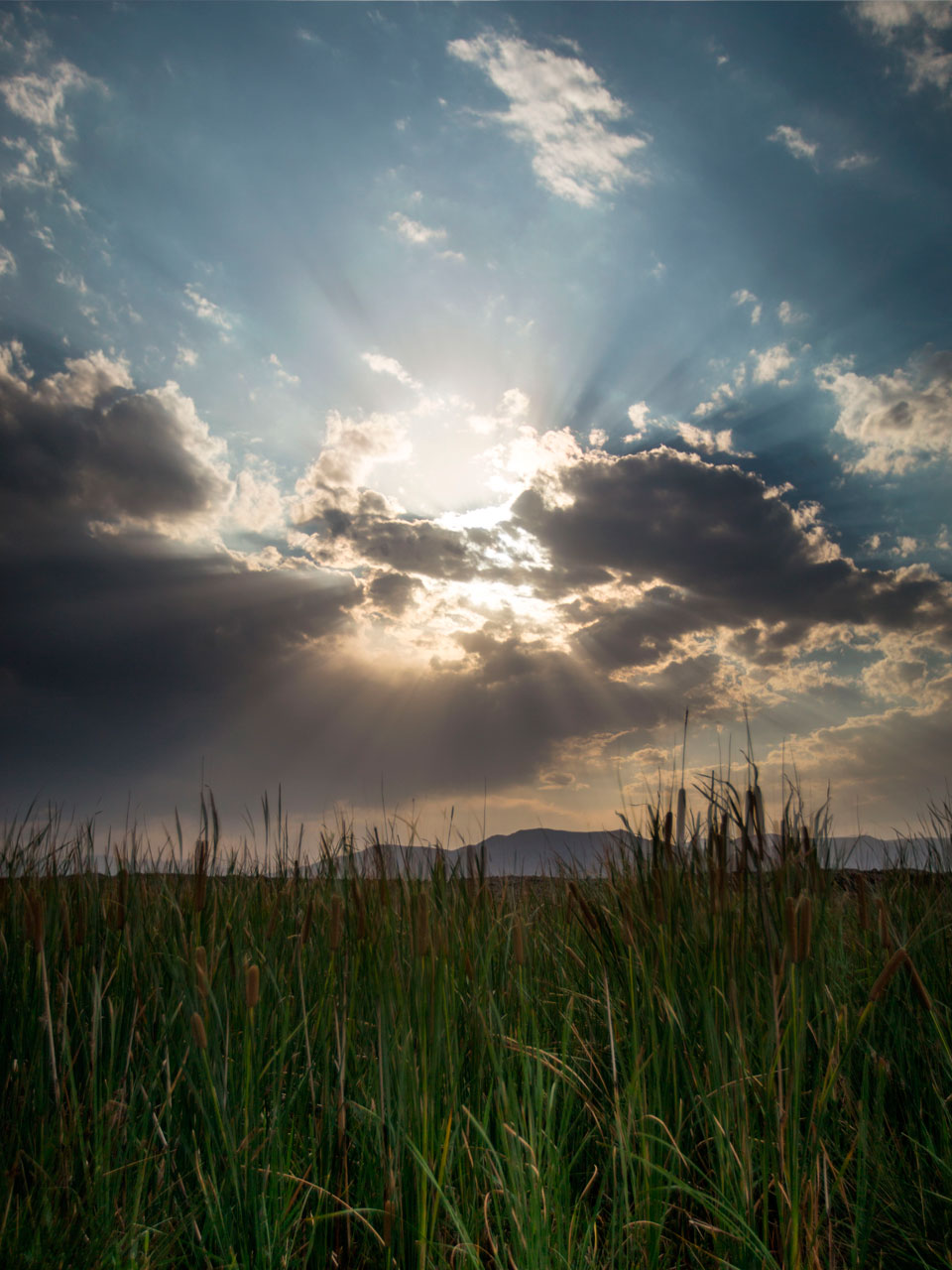
Due to having seasonal and permanent wetlands, the proximity of the wetlands to each other, the proper security of the environment, the presence of sufficient food and unique beauty, the potential of becoming a biodiversity patch of the country. Various types of aquatic and aquatic birds are the guests of the lagoon of the city, with the cooling of the air from different regions such as Russia, and in particular the Siberian region for the winter.
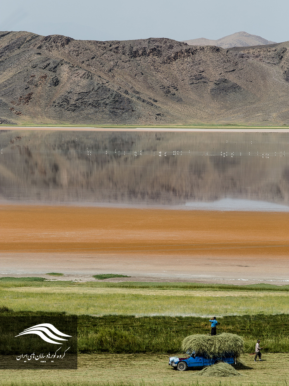
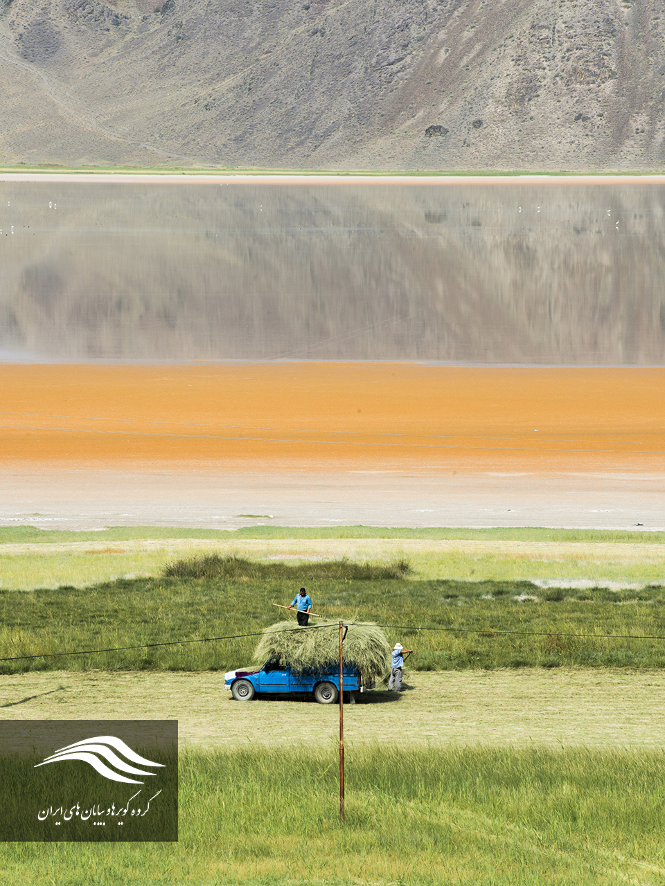
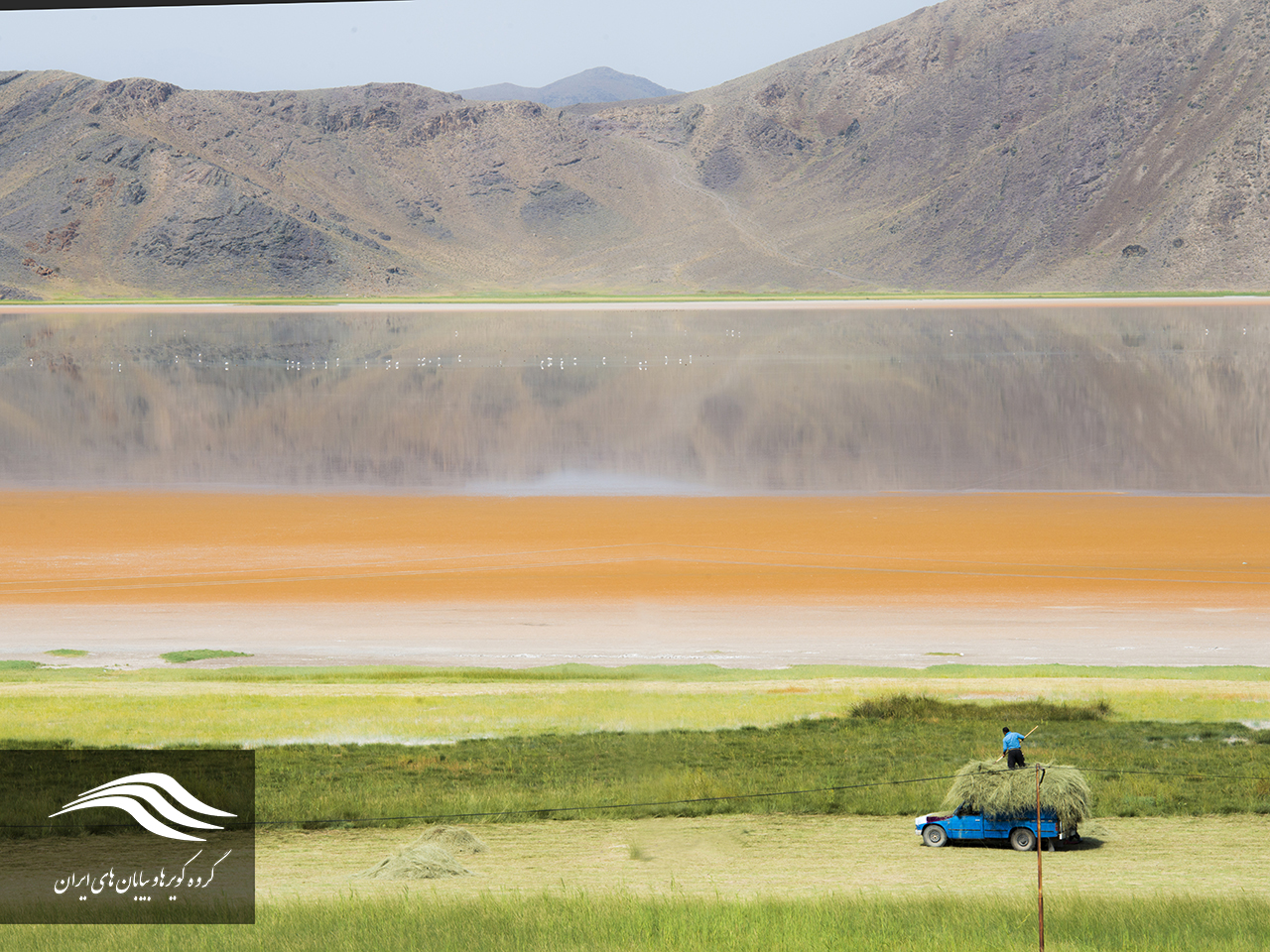
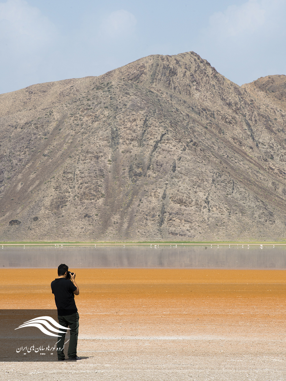
Due to the hunting ban this winter and the 24-hour control and surveillance of ambushes, the Maku wetlands have a very good security, which has led various types of birds to migrate to the wetlands during the winter. Birds migrating to the Maku lagoon are mainly gray goose, flamingo, green duck, fawn duck, oak duck, small Grebes, black neck grebes, large grebes, small gulls, Purple heron, gray heron, small egrets, small bitterns, western marsh harrier, little ringed plover, Eurasian reed warbler, and so on.
Introducing the Green Path of Birdwatching
The Makus Green Birdwatching Path is is 215 km long, including 7 wetlands that can be navigated in 2 days and have a modest climatic variation. The green route begins in the city of Maku. The Yarim Ghayeh Lagoon in the north of the city of Moko is the primary point of the wetland of the region. After that, the boundary lagoon of Boralan and the following lakes of Shatlou, Aghgul, Qaral-Balagh and at the end of the Kinkur wetlands will be the end of this beautiful path. In addition to wetland tourism, natural monuments and magnificent landscapes of the Maku Region such as the Ararat Mountains, igneous tourism, and many ancient works of the region can be used in this route. In order to get to know each other, the lovers of each of the Maku Green Route wetlands have been investigated.
Yarim Qayeh Lagoon, Maku
Geolocation of the wetland: N3924 E4426
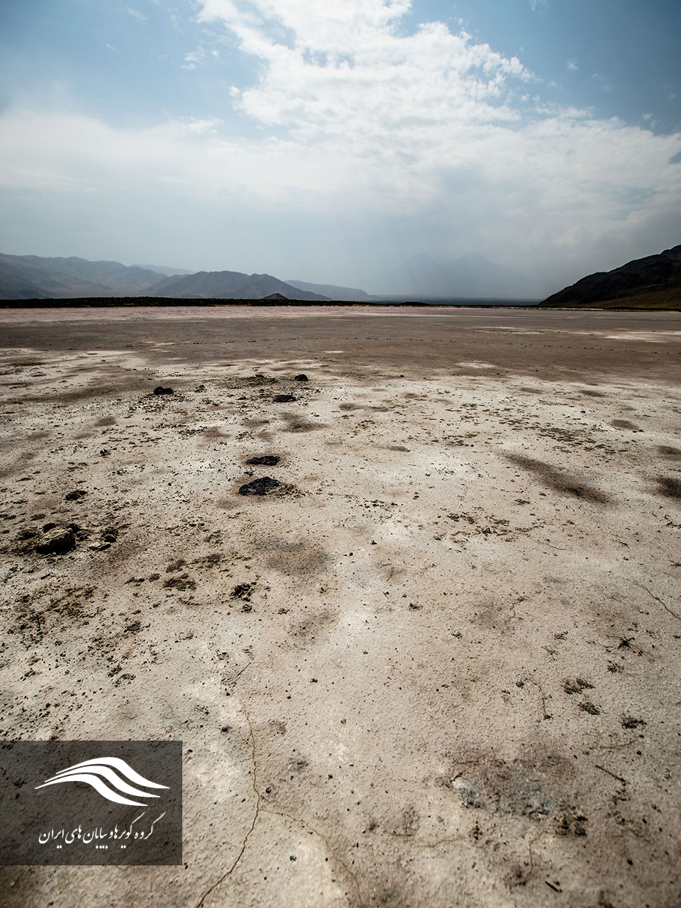
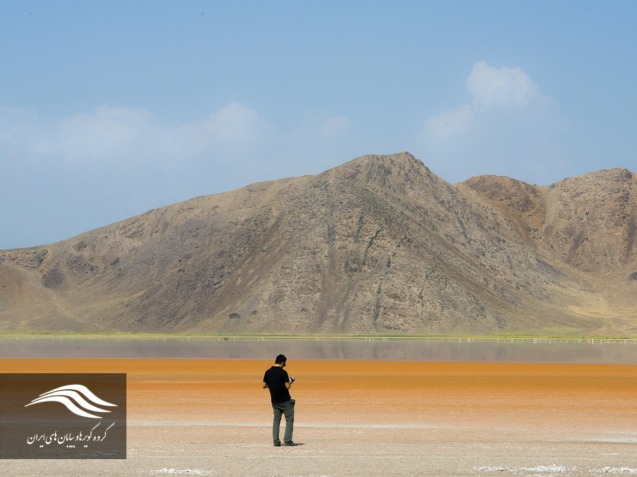
Yarmayeh Qayeh is clear and transparent in the zero point of Iran and Turkey border. Average rainfall is 250 mm / year and its area is about 5 km2. Yarim Qayeh Wetland is located in the east of the Yarim Qayeh Cave and the village of the same name. Yarim Cave is a cave of water that drains its water from this wetland. The height of the water level is 1414 m and compared to the height of 1410 meters, the water level in the cave is 2 meters higher. Although a significant amount of water is taken out of the cave overnight, it does not change the altitude of the cave. The alignment of the height of the cave and wetland indicates that the water flows from the wetland to the cave, and given that no other water is introduced into the cave, the cave is fed continuously and directly from the water in the lagoon.
Boralan Lagoon, Maku
Lagoon’s geographical location: N3932 E4445
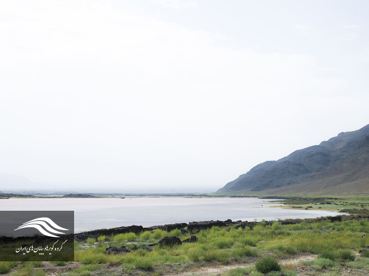
 Boralan is at the zero point of the border is one of the most important wetlands in the West Azarbaijan, which has an environmental significance with 250 hectares of water and hot springs as one of the main and winter habitats of 64 species of birds. The valuable lagoons are located in the Ararat mountains and on the border between Iran and Turkey. Boralan Lagoon has permanent water and is one of the beautiful areas of the city of Maku.
The wetland water comes from the eyes of Thuraya from the main streams of the rivers Karasu and Aras, numerous springs of warm water, surface waters and atmospheric precipitation. This area is located on the slopes of the Ararat mountains (Aghiri Daghi), which has caused significant water intake in the wetland. The lagoons water is very clear and suitable for sailing. This water is used in agriculture and pastures are located around the lagoon used by livestock. The vegetation of the wetland consists of two types of gazelles, alkali, straw and ….
Boralan Mako has been identified as the only West Azarbaijan desert region due to its specific climatic conditions and topography and has now faced wind erosion and sand flow, which has caused many problems for the villagers and the roads of the region. Access to the Boralan is possible along the Poldasht Frontier Road to the Thuraya Springs.
Shatlou Lagoon, Maku
Geolocation of the Lagoon: N39 34 E44 49
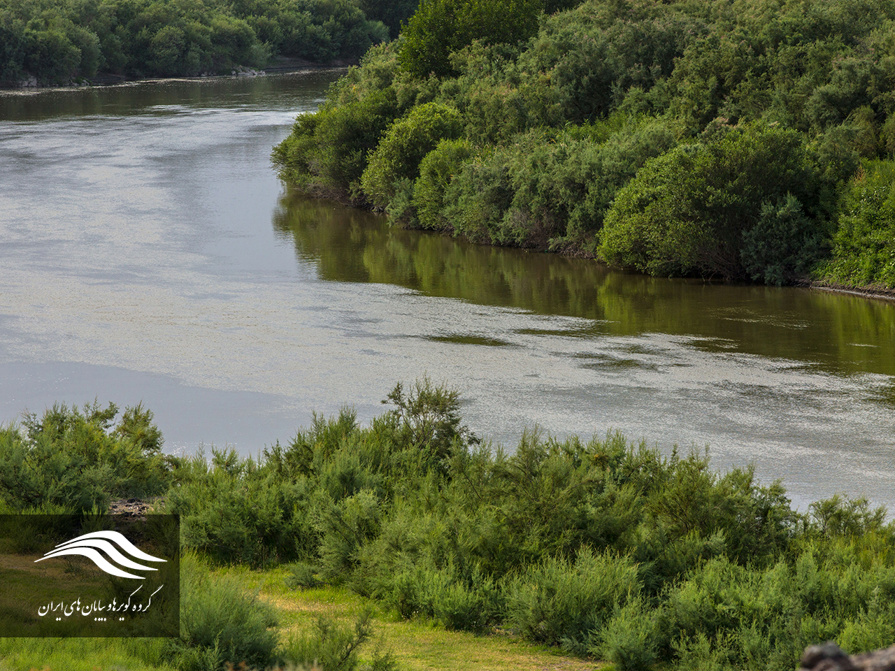
Shatlou is located near the Iranian border point of Nakhchivan and south of the river Aras. The altitude of the pond is 780 m. The length of the wetland is 6 kilometers and its width is 2 kilometers. To access this wetland, you can use the border road along the Aras River. The wetland is located in the east of Mount Ararat Highlands. Wetland water is supplied from the waste water of the Aras River in the east of the lake.
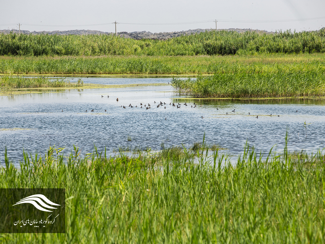
Agh Gol Lagoon, Maku
Geolocation of the lagoon: N39 32 E44 46
In terms of country divisions, this lagoon is located in the city of Maku and northeast of the country, and is adjacent to the Aras River. The height of this wetland is 799 meters. The Agh Gol is a seasonal lagoon and it is full of water in spring and winter, but it dries in the summer and early autumn. When it is full of water and when its water reaches its maximum, water from the southern part and from the margin of the village of Ghareblagh goes out of the wetland and flows to the plain of Zanganeh. Dewatering the wetland is mainly provided by the western and northern heights. In addition, springs in the lagoon tend to provide little water from the lagoon, but due to the fact that the amount of evaporation is higher in the summer, the wetland becomes dry.
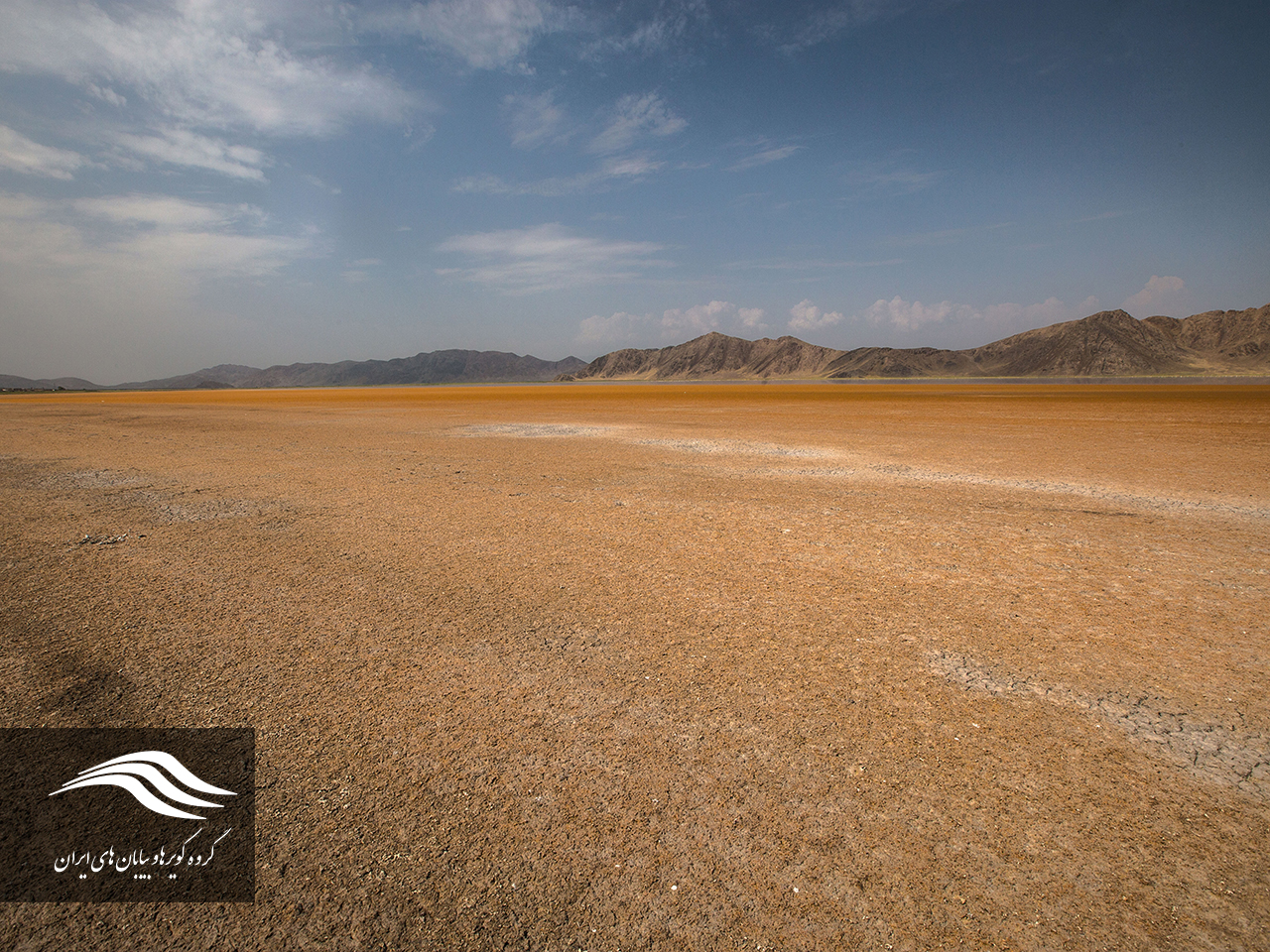
This wetland from the north to the shrub road of Agh-e-Gol and Khazar, from the Maghreb to the village of Agh-ol and the high mountains of Moli, from the east and northeast to the mountains of Ghareblagh, and from the south to the fields of the dwarf Qaral-Balagh and the road Shosh-e- Plain is limited. The area of this lagoon is about 475 hectares, its maximum length is 4500 meters and its maximum width is 2750 meters. The average depth of the wetland is 55 centimeters and its maximum depth is 70 centimeters.
Access to Agh Gol Lagoon is possible via Poldasht road 27 km east of Maku. After passing 22 kilometers along the route, along the Peltasht border road, you reach the village of Diem Gheshlag. After passing 29 km along this road, reaching the Dashte Zanganeh Road and reaching 16 km on this road, you will reach the alpine Lagoon.
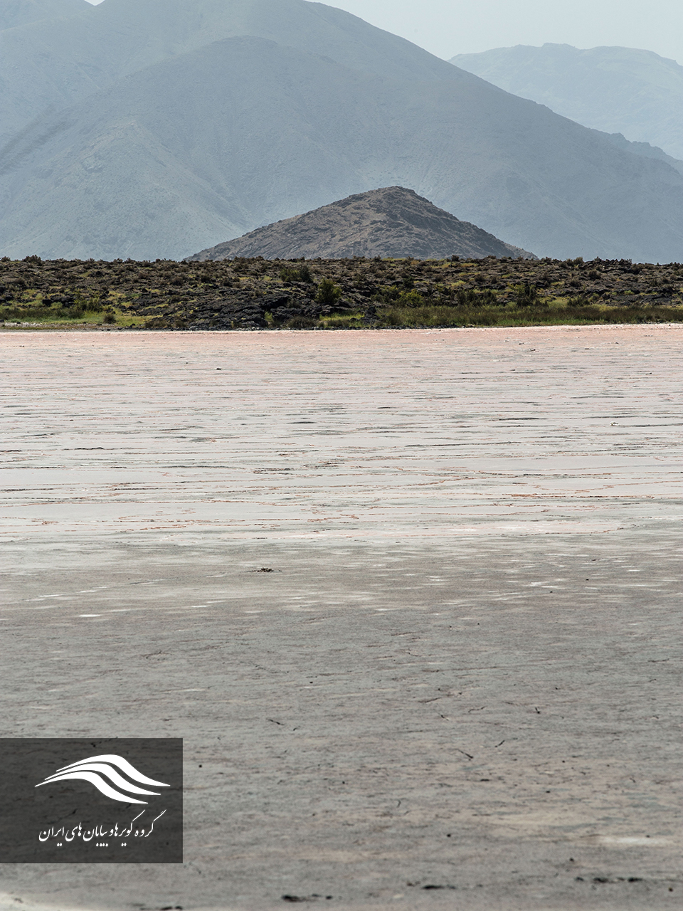
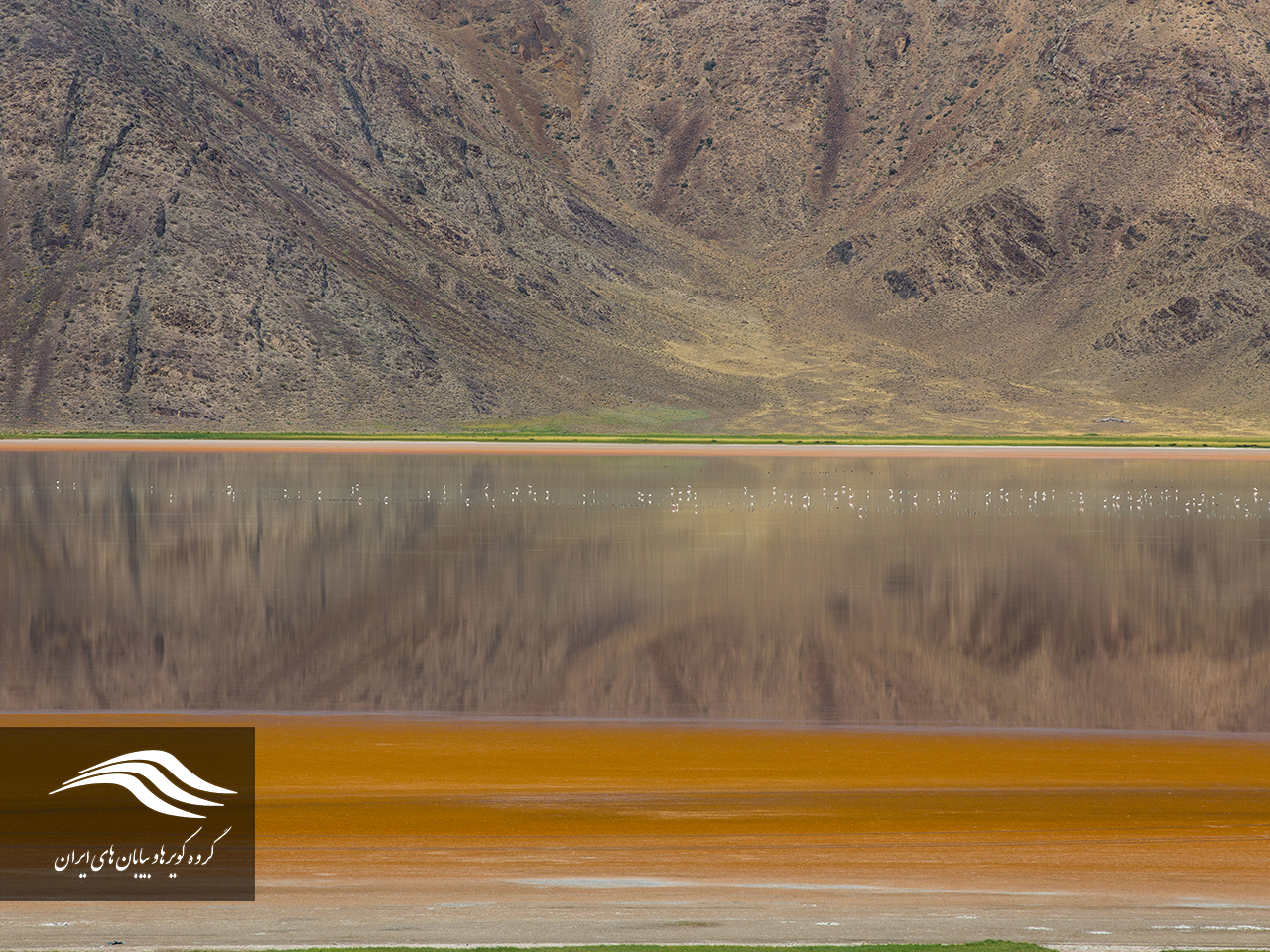
Ghareblagh Lagoon, Maku
Geographic location of the wetland: N39 53 E44 81
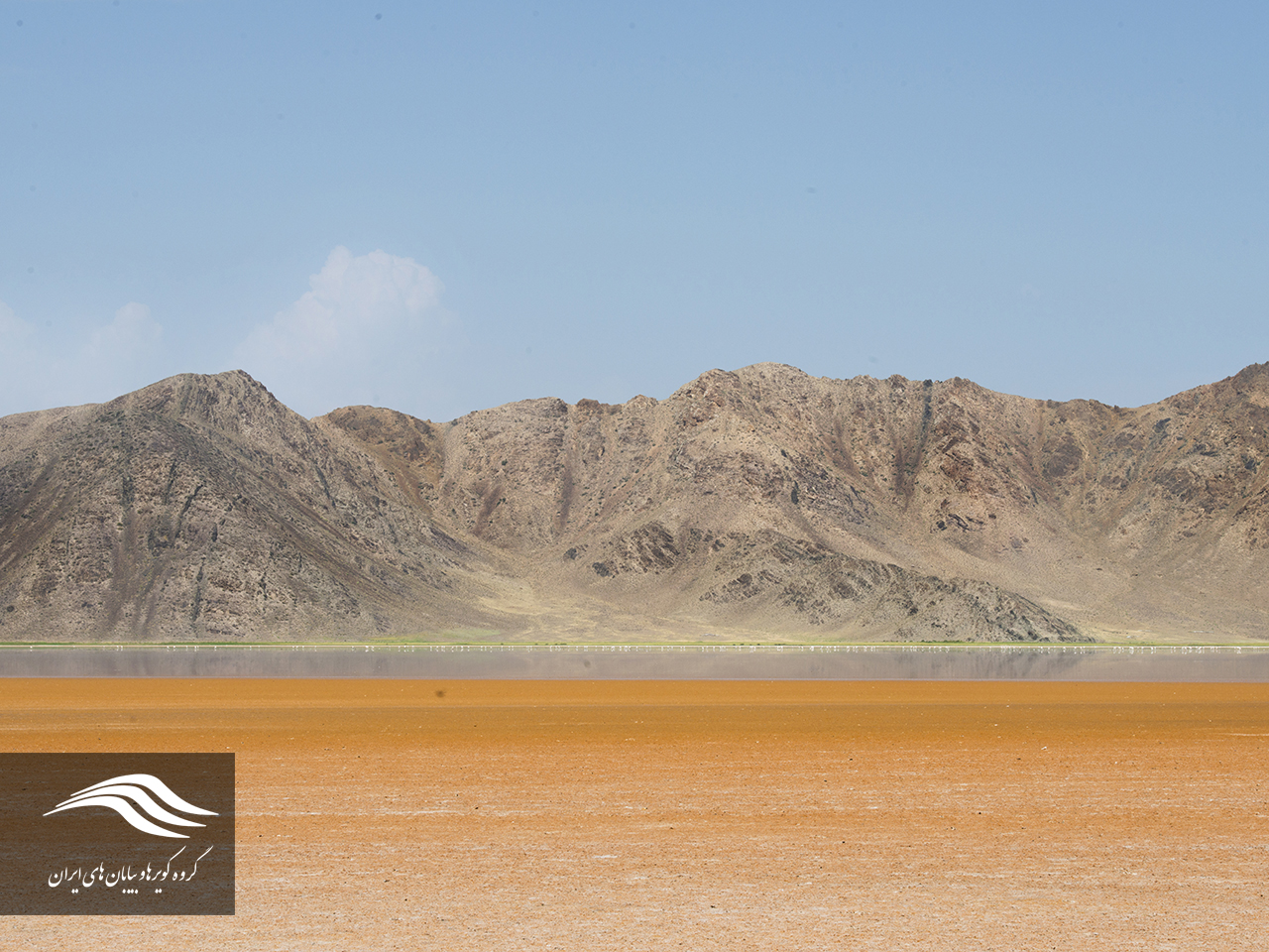
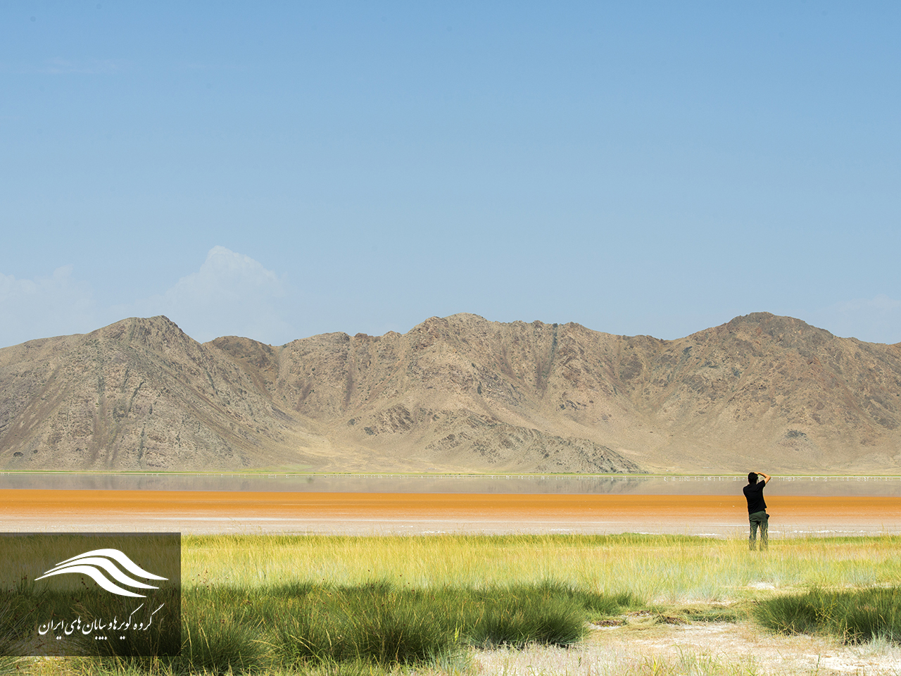
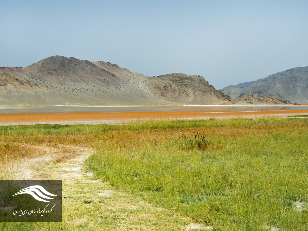
The lagoon of Ghareblagh is located in the north of Maku and leads east to the plain of Zanganh plain. The wetland is home to flamingos and other aquatic birds that each year is the source of Artemia and suitable for migrating. This wetland is located in the vicinity of the Aghful lagoon and has an area of about 3,000 hectares. Access to Qareblagh wetland is possible through the road to the village of Gharabolagh.
Kinkour Lagoon (Eshq Abad), Maku
Geolocation of the wetland: N39 20 E44 54
In terms of country divisions, it is located in the city of Poldasht, Maku, and in the west of this city. The altitude of this wetland is 865 meters. The lagoon north of the road to Sushi Sari Sou to Conakur, from the Maghreb to the village of Konikur, and the rocky terrain with the black lava of Mount Ararat, from the east to the village of Sari Sou and the road to Shosseh Ashgabat to Sari Sou and the agricultural land located in the area. To the agricultural lands of Ashgabat and about 1500 meters north of the village of Ashgabat is limited to the south. The total area of the wetland is 430 hectares, with a maximum length of 2760 meters and a maximum width of 2750 meters. The average water depth of the lagoon is 50 cm and the maximum depth of 180 cm is measured in the duct.
To get access to this wetland along the Maku road, we reach the Iauogli road, after about 27 km, and after crossing the Yuldagdi on the left, we enter the road to the bridge of Dasht, and after passing 7 km to Ashgabat and after passing from the village of Sari Sou and passing through the road, we reach the lagoon area of ۵ km.

سلام
مختصات دریاچه یارالان و قره بلاغ اشتباه است.
لطفاٌ اصلاح کنید.